Mount Srikantha Expedition
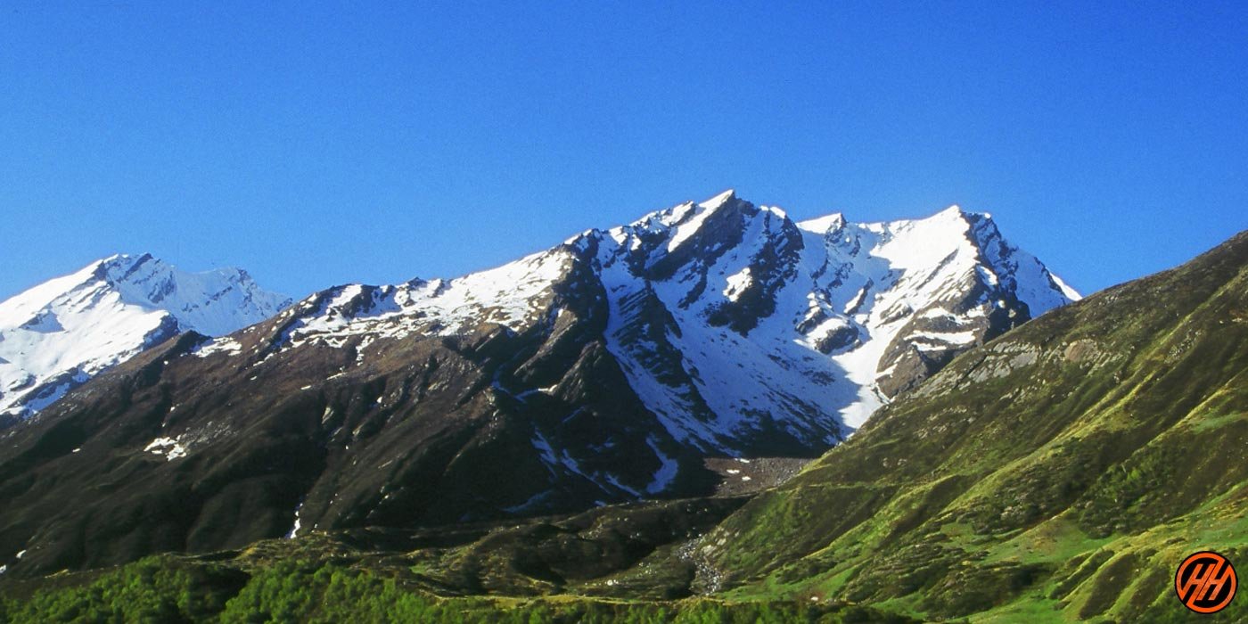
Mount Srikantha Expedition refers to the climbing expedition to Mount Srikantha, a prominent peak in the Garhwal Himalayas of Uttarakhand, India. Mount Srikantha, also known as Thalay Sagar, is part of the Gangotri Group of peaks and stands at an elevation of 6,904 meters (22,651 feet).
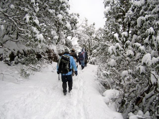
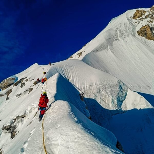
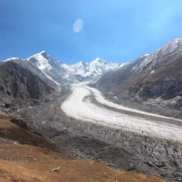
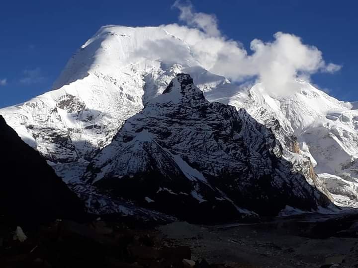
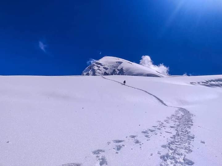
The expedition typically involves experienced mountaineers and climbers who undertake the challenge of ascending this technically challenging peak. Climbers need to navigate through steep ice and rock faces, crevasses, and unpredictable weather conditions characteristic of high-altitude Himalayan climbs.
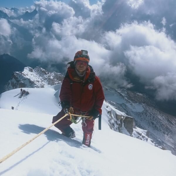
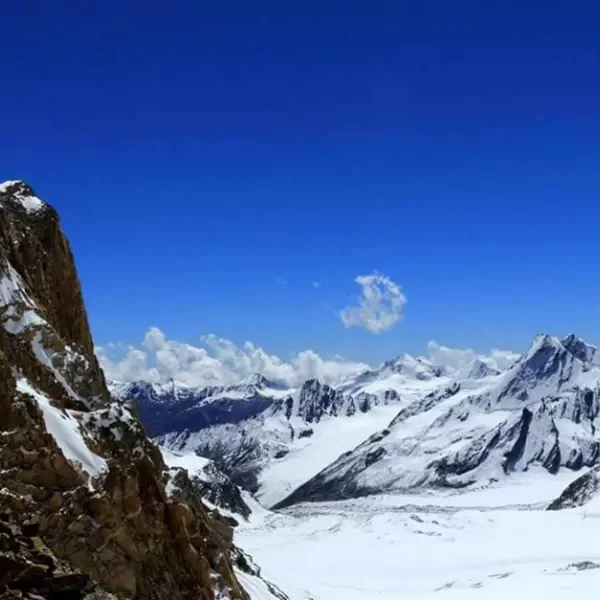
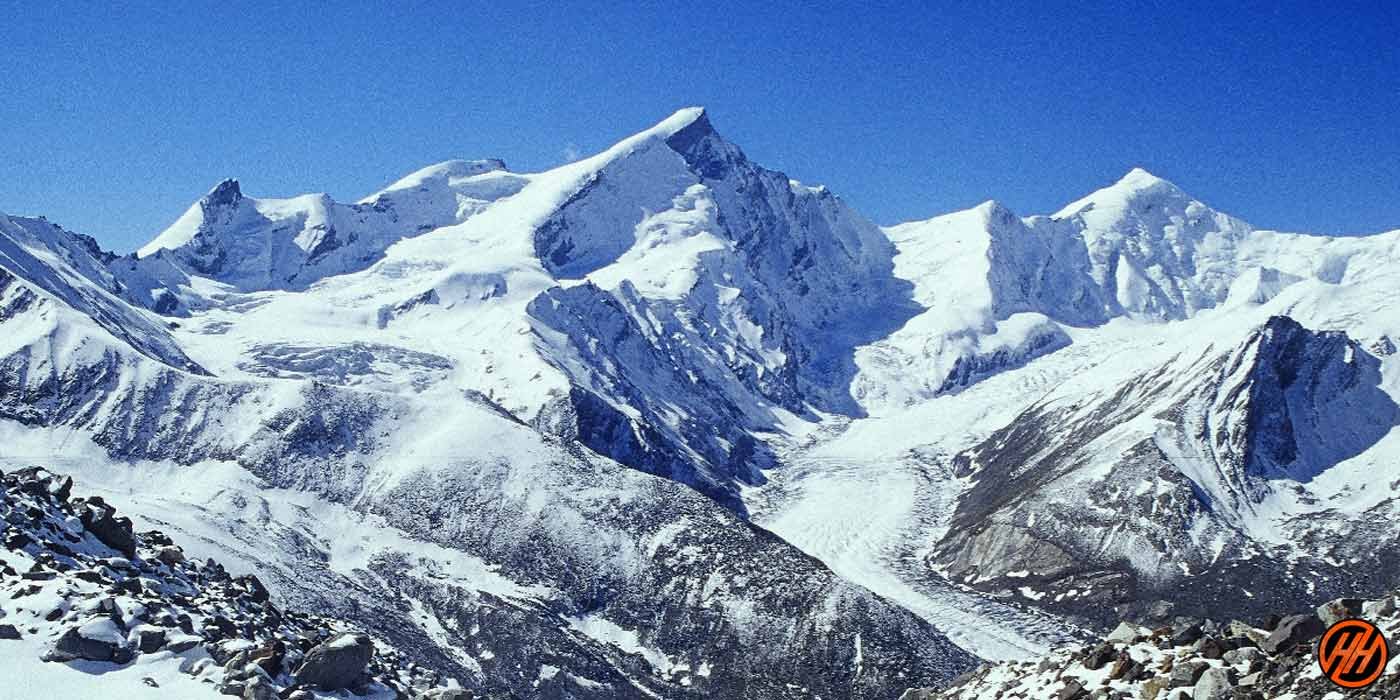
Mount Srikantha is renowned for its stunning yet formidable terrain, offering breathtaking views of the surrounding Himalayan peaks, including Shivling, Meru, and Bhagirathi peaks. The expedition requires meticulous planning, physical fitness, technical climbing skills, and proper acclimatization to ensure the safety and success of the climbers.
Climbing Mount Srikantha is considered a significant achievement in the mountaineering community, and successful expeditions to its summit are celebrated as feats of skill, determination, and endurance amidst the awe-inspiring grandeur of the Garhwal Himalayas.
History of Mount Srikantha
Mount Srikantha, also known as Thalay Sagar, is a prominent peak located in the Garhwal Himalayas of Uttarakhand, India. The history of Mount Srikantha is intertwined with the rich cultural and spiritual heritage of the region.
Historically, Mount Srikantha has been revered by Hindu pilgrims and mountaineers alike. The name "Srikantha" is derived from Sanskrit, where "Sri" means "auspicious" and "kantha" means "throat." According to Hindu mythology, Mount Srikantha is believed to be the place where Lord Shiva consumed the poison Halahala during the Samudra Manthan (Churning of the Ocean), which turned his throat blue and earned him the name Neelakantha (the blue-throated one).
Mount Srikantha has also been a significant challenge for mountaineers and climbers since the early days of Himalayan exploration. The peak's formidable terrain, including steep ice and rock faces, crevasses, and unpredictable weather conditions, has attracted experienced climbers seeking adventure and conquest.
In modern times, Mount Srikantha continues to be a sought-after destination for mountaineers, with expeditions attempting to summit its majestic peak. Climbing Mount Srikantha is considered a significant achievement in the mountaineering community, and successful ascents are celebrated as feats of skill, determination, and endurance amidst the awe-inspiring grandeur of the Garhwal Himalayas.
Short itinerary of MT Srikanth 6133 meters
Day 1- Dehradun to Dharali (218 km by taxi)
Day 2- Dharali to Nala camp (10km ) (8/9 hours)
Day 3- Nala camp to Srikanth Bace camp ( 07km) 5/6 hours
Day 4- Base camp( 12500 feet) accommodation, Equipment checking
Day 5- Base camp to ABC camp (14400feet) (07km) ( 7 hours) with lodferi back base camp
Day 6- Base camp to ABC camp (14400feet) & lodferi base camp
Day 7- Base camp equipment clothing accommodation
Day 8- Base camp to ABC camp (14400 feet) Overnight camp
Day 9- ABC camp(14400 feet) Rest day accommodation
Day 10- ABC camp to camp1 (17080 feet)( 05km)( 5/6 hours)
Day 11- Camp1 to camp2 (18400 feet) ( 08 km) ( 8/9 hours)
Day 12- Camp2 to summit MT Srikanth (6133 meters ) ( 20121feet )back ABC camp
Day 13- ABC camp to base came
Day 14- Base camp clothing equipment windup
Day 15- Bace camp to Dharali
Day 16- Dharali to dehradun by taxi


